 RTOPO LT 3.3
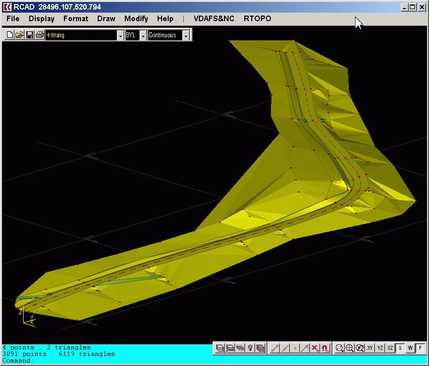
Loading and drawing XYZ files of points, triangulation, contour lines and color-filled contour maps. You can also draw 4D points cloud and process hundreds of thousands of points or triangles, even on less powerful PCs.
Last update
27 Nov. 2023
| old versions
Licence
Free to try |
$29.00
OS Support
Windows XP, Windows 98
Downloads
Total: 1,063 | Last week: 3
Ranking
#84 in
3D Modeling & CAD
Publisher
Rcad Software
Screenshots of RTOPO LT


RTOPO LT Publisher's Description
The most convenient program for: loading and drawing XYZ files of points, triangulation, contour lines and color-filled contour maps. You can also draw 4D points cloud and process hundreds of thousands of points or triangles, even on less powerful PCs.
You don't need another CAD system. RTOPO LT has its own CAD system.
----
RTOPO LT is the reduced version of the full RTOPO Hydrology CAD for topography, which has in addition: editing of XYZ files of points, cross-sections and longitudinal profile, simulation of rainwater runoff, projection of a curve on triangulation, calculation of the volume between surfaces formed by 3DFACE and the intersection and division of 2 sets of 3DFACE.
Look for Similar Items by Category
Feedback
- If you need help or have a question, contact us
- Would you like to update this product info?
- Is there any feedback you would like to provide? Click here
Beta and Old versions
Popular Downloads
-
 KaraFun Karaoke Player
2.6.2.0
KaraFun Karaoke Player
2.6.2.0
-
 Kundli
4.5
Kundli
4.5
-
 Macromedia Flash 8
8.0
Macromedia Flash 8
8.0
- FastSum 1.9
-
 FastSum Standard Edition
1.6
FastSum Standard Edition
1.6
-
 Cool Edit Pro
2.1.3097.0
Cool Edit Pro
2.1.3097.0
-
 Cheat Engine
6.8.1
Cheat Engine
6.8.1
-
 Hill Climb Racing
1.0
Hill Climb Racing
1.0
-
 My Talking Tom
1.0
My Talking Tom
1.0
-
 Tom VPN
2.2.8
Tom VPN
2.2.8
-
 Windows XP Service Pack 3
Build...
Windows XP Service Pack 3
Build...
-
 C-Free
5.0
C-Free
5.0
-
 GeoGebra
5.0.44
GeoGebra
5.0.44
-
 Netcut
2.1.4
Netcut
2.1.4
-
 Vidnoz AI
1.0.0
Vidnoz AI
1.0.0
-
 Vector on PC
1.0
Vector on PC
1.0
-
 Facebook Messenger
440.9.118.0
Facebook Messenger
440.9.118.0
-
 Grand Theft Auto: Vice City
1.0
Grand Theft Auto: Vice City
1.0
-
 Auto-Tune Evo VST
6.0.9.2
Auto-Tune Evo VST
6.0.9.2
-
 FormatFactory
4.3
FormatFactory
4.3